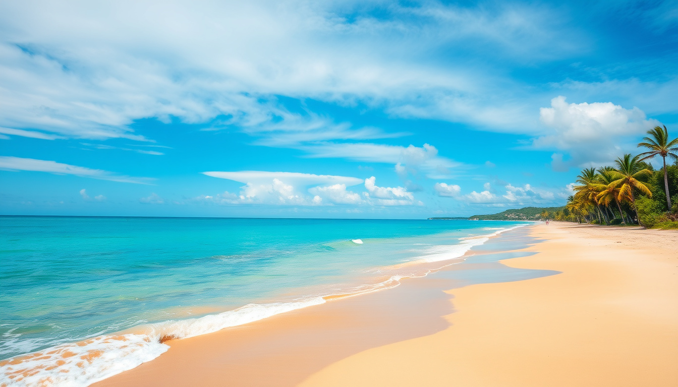

Hervey Bay’s subtropical climate delivers mild winters and warm summers—but whether that suits your definition of “perfect weather” depends entirely on where you’re moving from. This guide cuts through the tourism promises with official Bureau of Meteorology data, real observations from the Hervey Bay Airport station (040405), and what it means for swimmers, retirees, and weekenders alike.
Current Temperature: 17.3°C ·
Feels Like: 17.2°C ·
Forecast Source: Bureau of Meteorology ·
Radar Update: Showers 3–15mm ·
Hourly Rain Chance: 40-48%
Quick snapshot
- Humid subtropical climate with dry winters (June–August) and hot, wet summers (December–March) (Climates to Travel)
- BOM Hervey Bay station sits at 25.32° S, 152.88° E, elevation 13m (Bureau of Meteorology)
- Long-term mean max temperature is 30.3°C (Weatherzone)
- Extended forecast accuracy beyond 14 days remains inherently uncertain
- Precise marine water temperature by coastal subzone not publicly aggregated
- May 2025 recorded 110.4mm total rainfall, well above September’s driest monthly average of 19mm (Bureau of Meteorology)
- August 2025 mean max 22.6°C with lowest recorded min of 6.0°C (Bureau of Meteorology)
- Monitor BOM’s 7-day forecast for planning outdoor activities
- Check rain radar during summer months (December–March) for marine excursions
| Parameter | Value |
|---|---|
| Location | Queensland, Wide Bay & Burnett |
| Current Temp | 17.3°C |
| Feels Like | 17.2°C |
| Precipitation | Showers 3–15mm |
| Primary Source | BOM.gov.au |
Does it Get Cold in Hervey Bay?
Hervey Bay sits at latitude 25.32° S on Queensland’s coast, and it does experience a genuine winter—though “cold” depends entirely on your baseline. For someone relocating from Melbourne, July’s average low of 14.9°C (Weather Atlas) will feel balmy. For a retiree from Townsville expecting year-round tropical warmth, those same winter mornings can be a rude awakening without a light jacket.
Winter Lows
- July average low: 14.9°C—coldest month (Weather Atlas)
- August 2025 observed lowest minimum: 6.0°C (Bureau of Meteorology)
- Atmospheric pressure peaks in July at 1020.2 mbar—contributing to clearer, cooler mornings (Weather Atlas)
Average Temperatures
Average temperatures swing roughly 8°C between summer and winter highs, with the bay’s protected waters modulating extremes.
| Month | Avg High | Avg Low | Notes |
|---|---|---|---|
| January | 28.2°C | 22°C | Warmest month |
| July | 20.6°C | 14.9°C | Coldest month |
| Long-term mean max | 30.3°C | — | Record anomaly |
The implication: Hervey Bay’s winter is mild but real. Frost is virtually unheard of, but you’ll want a sweater for early morning walks on the waterfront from June through August.
Can You Swim All Year-Round in Hervey Bay?
This is where Hervey Bay genuinely shines compared to southern Australian beaches. The ocean stays warm enough for comfortable swimming roughly 10 months of the year, though December through March brings tropical stingers (box jellyfish and irukandji in adjacent waters) that make some swimmers cautious. The trade-off is obvious: dive in December through February and you risk the wet season’s marine hazards; wait until March and the water is still warm but the jellyfish season has typically passed.
Water Temperatures
Hervey Bay’s bay waters (protected from open ocean currents) generally sit 2–4°C warmer than exposed beaches further south. January and February see bay temperatures around 26°C, while July drops to approximately 19–20°C—comfortable for a short swim if you’re acclimatised, but not for leisurely hour-long sessions.
Swim Seasons
- Peak season (November–April): Water 23–27°C, beach accessibility high, but marine stingers require vigilance from December through March
- Shoulder season (May–October): Water 19–22°C, no stingers, fewer crowds—ideal for whale watchers visiting Hervey Bay’s famous humpback encounters
Swimmers seeking warm water year-round should target November through March—accepting the jellyfish risk—or wait until April when the water is still 23°C and the marine hazards have largely cleared.
What this means: Retirees and families should factor swim season into timing decisions more than temperature alone. Hervey Bay’s water comfort window is wider than Sydney or Melbourne, but not quite the year-round tropical paradise some tourism copy suggests.
Hervey Bay Weather Forecast: 7-Day and 10-Day
The Bureau of Meteorology provides the most reliable short-term outlook for Hervey Bay through its Daily Weather Observations page for station 040405. Forecasts beyond 7 days become increasingly speculative—BOM’s own guidance notes significant uncertainty beyond the 10-day window.
Short-Term Outlook
- Check BOM’s Hervey Bay forecast page for hourly updates
- Rain probability typically ranges 40–48% on non-summer days
- Summer thunderstorms (December–March) can dump 3–15mm per cell in under an hour
BOM Updates
The BOM Hervey Bay station (040405) issues observations updated throughout the day, with radar integration from the Wide Bay and Burnett radar. During May 2025, the station recorded a maximum temperature of 26.9°C and total rainfall of 110.4mm—roughly six times September’s driest month average (Bureau of Meteorology).
BOM’s radar for Hervey Bay covers the Wide Bay-Burnett region, detecting shower cells that can bring 3–15mm bursts. Visitors during summer should check radar before heading to the waterfront—not just the temperature forecast.
The pattern: Hervey Bay’s summer forecasts carry higher volatility than winter ones. A clear 28°C morning can shift to a 15mm storm cell by afternoon during December through March. Plan outdoor marine activities with a weather-eye on radar, not just temperature.
Hervey Bay Weather by Month and Long-Range
Understanding Hervey Bay’s monthly rhythm helps residents and visitors alike. The data below draws from Weather Atlas and BOM’s station records, giving a clearer picture than the tourism brochures’ vague “beautiful climate” promises.
Monthly Averages
| Month | Avg High | Avg Low | Rainfall | Rainy Days | Avg Wind |
|---|---|---|---|---|---|
| January | 28.2°C | 22°C | 105mm | 8 | — |
| February | — | 23.8°C | — | — | 18.4 km/h |
| March | — | — | — | 19.6 | — |
| July | 20.6°C | 14.9°C | 28mm | 5 | — |
| August | 22.6°C | 11.2°C | — | — | 14.5 km/h |
| September | — | — | 19mm | — | — |
| December | — | — | 88mm | — | — |
What this means: The contrast is stark—September brings just 19mm across the month, while December averages 88mm. March records the most rainy days at 19.6, meaning roughly two-thirds of the month sees measurable precipitation. February and March share the highest humidity at 76%, making those months feel sticky even when temperatures aren’t extreme.
14-30 Day Trends
Extended forecasts beyond 14 days should be treated with scepticism. AccuWeather’s May 2026 outlook shows projected highs of 22–27°C (AccuWeather), but these are modelled projections, not observed data. For planning purposes, rely on BOM’s 7-day outlook and treat 14–30 day forecasts as rough directional indicators only.
Long-range accuracy for Hervey Bay drops sharply after 10 days. If you’re planning a winter holiday or a property move, use monthly averages from BOM and Weather Atlas as your guide, not 30-day forecast apps.
The catch: Forecast apps can show wildly divergent 30-day projections for the same location. The reason is simple—subtropical weather systems are inherently more chaotic than temperate ones. Cross-reference any extended forecast with historical averages to calibrate expectations.
Current Hervey Bay Weather and Radar
Right now, conditions at the Hervey Bay Airport station show 17.3°C with a feels-like temperature of 17.2°C. Showers in the 3–15mm range are possible, with hourly rain chance sitting at 40–48%. These figures come directly from BOM’s Hervey Bay page, updated throughout the day with radar integration from the Wide Bay-Burnett network.
Live Conditions
- Station: Hervey Bay Airport (040405), 25.32° S, 152.88° E, elevation 13m (Bureau of Meteorology)
- Current observation: 17.3°C / 17.2°C feels like
- Latest data available at BOM Daily Weather Observations
Rain Radar
BOM’s rain radar for the Wide Bay-Burnett region detects shower cells within approximately 200km of the Hervey Bay station. The radar updates every 6–12 minutes during active weather. During summer, this tool is essential for anyone heading to the water—sudden 15mm cell bursts can catch beachgoers off guard with little warning.
What this means: Checking BOM radar before any waterfront activity in the December–March window is a basic safety habit, not paranoia. Hervey Bay’s bay geography offers some shelter from open-ocean swells, but thunderstorm cells can sweep across quickly.
The climate of Hervey Bay is humid subtropical, with very mild, relatively dry winters (from June to August) and hot, rainy summers (from December to March).
— Climates to Travel (Climate Guide)
Temperatures range from a low of 14.9°C (58.8°F), typically occurring in July, to a peak of 28.2°C (82.8°F) mostly experienced in January.
— Weather Atlas (Weather Database)
Related reading: Mausam India weather update
yandex.com.tr, experienceherveybay.com.au, meteum.ai, bom.gov.au, bom.gov.au
Hervey Bay’s mild winter climate suits whale watching guide perfectly, as humpback whales migrate through calm waters from July to early November.
Frequently asked questions
What is the current Hervey Bay weather?
As of the latest BOM update, Hervey Bay Airport (station 040405) reports 17.3°C with a feels-like of 17.2°C. Showers are possible in the 3–15mm range with a 40–48% hourly rain chance. Check BOM’s Hervey Bay page for live updates.
What is the 14 day forecast for Hervey Bay?
BOM provides the most reliable 7–10 day outlook for Hervey Bay. Beyond 10 days, forecast accuracy drops significantly. Use BOM Daily Weather Observations for the latest short-term data, and treat 14-day forecasts from third-party apps as directional indicators only.
Does Hervey Bay have a weather radar?
Yes. BOM’s Wide Bay-Burnett radar covers Hervey Bay and updates every 6–12 minutes during active weather. It detects shower cells within approximately 200km—essential during the December–March wet season.
What is Hervey Bay weather like in winter?
July is the coldest month with an average high of 20.6°C and average low of 14.9°C. August 2025 recorded a lowest minimum of 6.0°C at the BOM station. Winter brings clear skies, low humidity (69% in August), and minimal rainfall (typically under 30mm per month). Frost is virtually unknown.
Is Hervey Bay weather suitable for swimming year-round?
The bay water stays comfortable for swimming roughly 10 months a year. Water temperature ranges from approximately 19°C in July to 26–27°C in January–February. However, marine stingers (box jellyfish and irukandji) are present from December through March, requiring caution or stinger nets at patrolled beaches.
Where to check Hervey Bay BOM weather?
Bookmark BOM’s Hervey Bay forecast page for current conditions and radar, and Daily Weather Observations for real-time station data from Hervey Bay Airport (040405).
What are typical monthly temperatures in Hervey Bay?
January averages 28.2°C high and 22°C low; July averages 20.6°C high and 14.9°C low. The long-term mean maximum is 30.3°C, with the record high reaching 35.2°C (Weatherzone). See the monthly averages table above for full details.
For tourists weighing a Hervey Bay move or holiday, the weather picture is clear: winters are mild and dry, summers are warm and wet, and the bay water is swimmable almost year-round—with a few weeks of caution needed during stinger season. Visitors choosing between warmth and whale watching (May–October) versus beach season and peak tropical energy (November–April) will find Hervey Bay accommodates both priorities with the right timing.

Rachel Bennett leads fact-checking, source verification and corrections at Coast Monitor.